Atlas Obscura · People & society
Grand Mesa: A Colorado Natural Wonder
The Grand Mesa, located in western Colorado, is recognized as the world's highest flat-topped mountain. It offers a significant contrast to the surrounding landscape and provides numerous recreational opportunities.
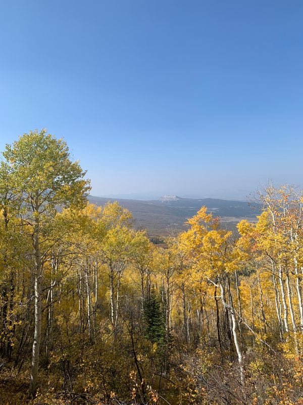
Spanning approximately 500 acres and 40 miles across Garfield, Grand, and Delta counties, the Grand Mesa features a mix of flat terrain and rugged topography. It is drained by Plateau and Kannah creeks and boasts over 300 lakes. Elevations range from about 6,000 feet to over 11,000 feet, primarily within the Grand Mesa National Forest.
The Grand Mesa Scenic Byway (Colorado Highway 65) provides an accessible route from Interstate 70 to Cedaredge, offering scenic overlooks. For a deeper experience, hiking is recommended.
The Mesa provides a cooler climate than the Grand Valley, with temperatures up to 30 degrees Fahrenheit lower. It is a popular destination for summer recreation and receives substantial snowfall in winter.
Winter activities include Nordic skiing at the Grand Mesa Nordic Center and alpine skiing/snowboarding at Powderhorn Ski Area. In summer, Powderhorn offers hiking, scenic lift rides, and mountain biking.
The Lands End Observatory, a historic Civilian Conservation Corps structure, is located ten miles from the scenic byway and offers views of the Grand Valley.
The Grand Mesa National Forest contains over 3,000 miles of maintained trails. The Crag Crest Trail is a notable 10.5-mile loop along a ridgeline with views of alpine lakes.
AI-samenvatting op basis van de bron.
Atlas Obscura