Hackaday · Creativity & design
SAR Drone Enhanced with Interferometric Imaging and RTK GPS
A SAR imaging drone has been significantly upgraded with a more powerful autofocus algorithm and the capability for high-resolution interferometric imaging.
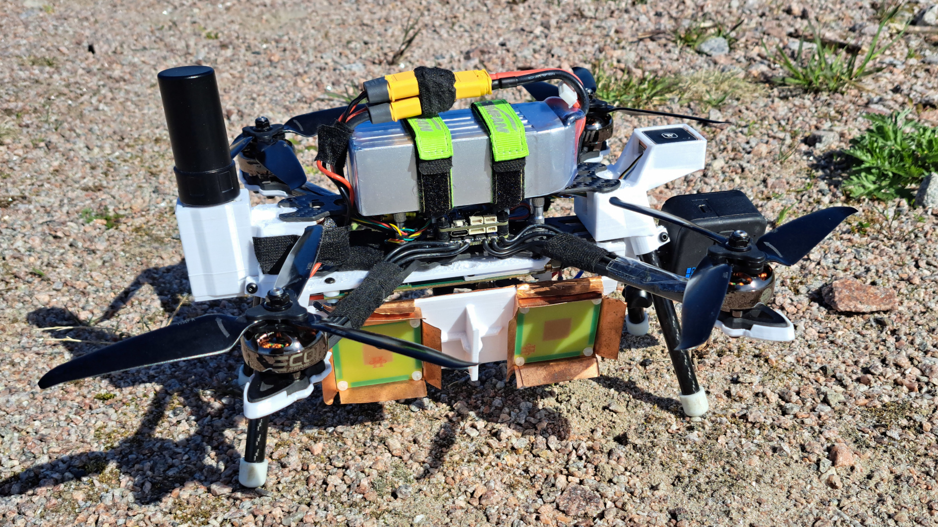
The drone's autofocus algorithm was improved by better estimating the drone's position. This was further enhanced by integrating an RTK-capable GPS receiver, which uses a ground station for centimeter-level accuracy, or by using PPK positioning for post-flight accuracy.
Hardware improvements include stabilizing the phase-locked loop for the radar's frequency sweep. To address SD card bandwidth limitations, a fast compression algorithm was implemented.
A key development is the program for interferometric imaging. By flying the same path at different altitudes and comparing phase information, the drone can detect target elevation, generating detailed elevation maps and correcting for the apparent leaning of tall objects seen in standard SAR images.
AI-samenvatting op basis van de bron.
Hackaday