Hackaday · Creativity & design
Munich's Underground Water Survey
Munich is conducting a seismic survey to map underground water for geothermal energy, using geophones and vibrotrucks.
The survey aims to create a 3D map up to 5 km deep to guide geothermal plant placement and drilling for hot water (around 100°C at 3 km).
Seismic surveys generate shockwaves, and geophones detect reflections to determine layer depths.
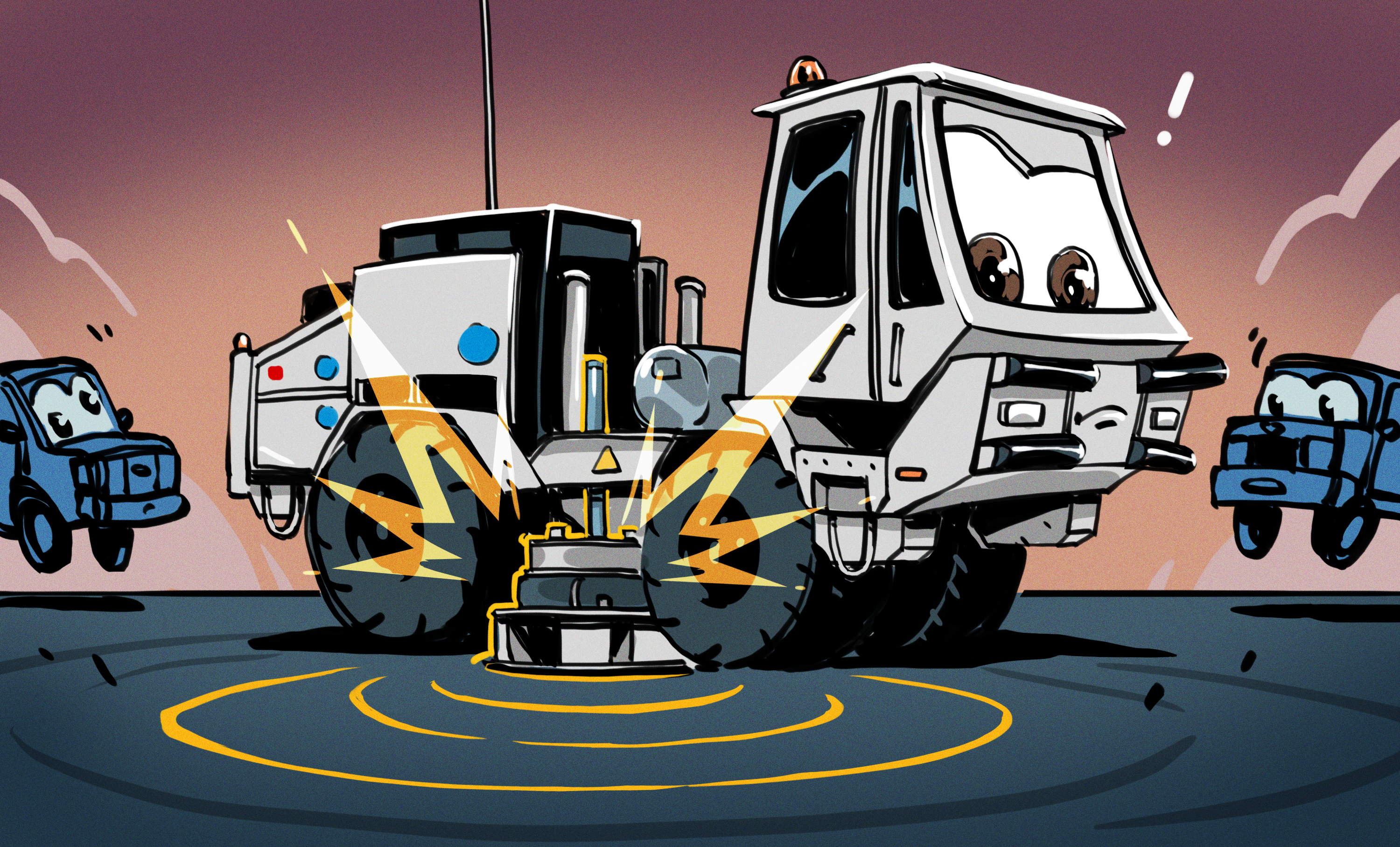
Geophones are placed regularly, and vibrotrucks create seismic waves by pounding the ground.
Earth's temperature rises with depth (approx. 30°C/km). Munich has a Jurassic-period water source suitable for geothermal extraction.
The plan involves drilling boreholes and using "extended reach drilling" to access more water.
The GIGA-M study aims to fill gaps from previous surveys and existing geothermal plants.
Vibrotrucks use frequency sweeps. Geophones record timestamped data, with locations and clocks synchronized via GPS.
AI-samenvatting op basis van de bron.
Hackaday